Ports et mouillages de Normandie vus du ciel. Aerials of ports and harbours
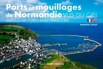
Redécouvrez les ports et mouillages des côtes normandes à travers de magnifiques photographies vues du ciel que François Levalet réalise avec son cerf-volant. Un survol poétique de plus de 40 sites - identifiés grâce à leurs coordonnées GPS -, des hautes falaises de la côte d'Albâtre aux grèves immenses de la baie du Mont-Saint-Michel, de Granville au Tréport... en passant par Port-en-Bessin et Honfleur.
Rediscover the ports and harbours found on the Normandy Coast with this journey of beautiful photographs taken by Francois Levalet and his kite. A poetic aerial view of over 40 locations - all identified thanks to their GPS coordinates -, from the elevating cliffs of the Alabaster coast, to the vast beaches of the Bay of Saint Michael's Mount, from Granville to Tréport.... Not forgetting Port-en-Bessin and Honfleur.