British Honduras : the invention of a colonial territory : mapping and spatial knowledge in the 19th century
Until the 17<sup>th</sup> century, the area currently occupied by Belize appeared in maps as a portion of space in the American world with no particular attribute other than being at the confines of a territory poorly known to Europeans, some of whom stopped there without making any political or social commitment, before the area became coveted, delimited and negotiated between empires. In the 18<sup>th</sup> century it was integrated into a colonial structure as a territory to be controlled and administered by Great Britain in the 19<sup>th</sup> century.
The purpose of this monograph is not to retrace the genesis of a nation, but more modestly, to recount the invention of a colonial territory. No territory exists on its own ; only social, political, symbolic and emotional constructions grant it substance and reality. Through descriptions, narratives and maps, this monograph brings the territory into existence and displays the articulation between the collective imaginarles, the subjectivities, and the spatial practices of the social and political actors -political authorities, residents, cartographers-who interacted in the territorial construction of Belize.
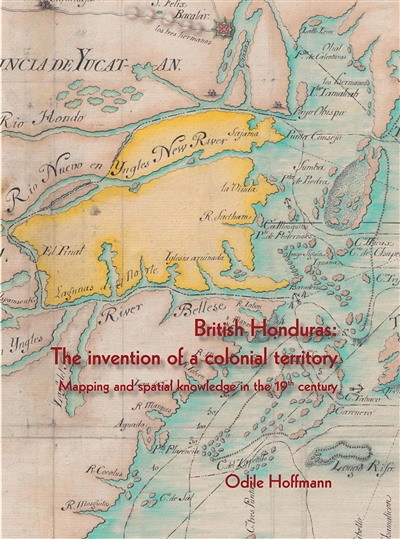
The collection of maps reproduced in this book is itself priceless. Odile Hoffmann adds to it her analysis which shows that maps are not neutral instruments. Maps reveal the purposes and power of those who make them and so are part of the historical process of domination and contestation that shaped Belize's history. Maps contribute to territorial claims and disputes both between and within states, and Hoffmann's book helps us to understand the conflicting visions and versions that created first the colonial and then the national territory of Belize. O. Nigel Bolland, Charles A. Dana Professor of Sociology and Caribbean Studies, Emeritus, Colgate University.
This timely work will greatly help to nurture the debate on the events that shaped the development of Belize. It demonstrates how maps, and more importantly their interpretation, are critical to the analysis of the historical control of Belize's territory over time. Nigel Encalada, Director, Institute of Social and Cultural Research (ISCR).
Odile Hoffmann demonstrates masterfully how maps record colonial conquests, the power play between imperial powers, and how they register the domination of the victorious within a space. This book opens up new and promising areas of research. Dr. Myriam Cottias, Historian at CNRS, Director of Centre International de Recherche sur les Esclavages (CIRESC).